GEOGRAPHY REVIEW · PLANETGIS
A geography knowledge base you can explore on your own
Physical, human, regional and GIS geography — the topics textbooks rush past, explained properly. Look up an entry, play with a map, download a dataset.
TRY IT IN 30 SECONDS
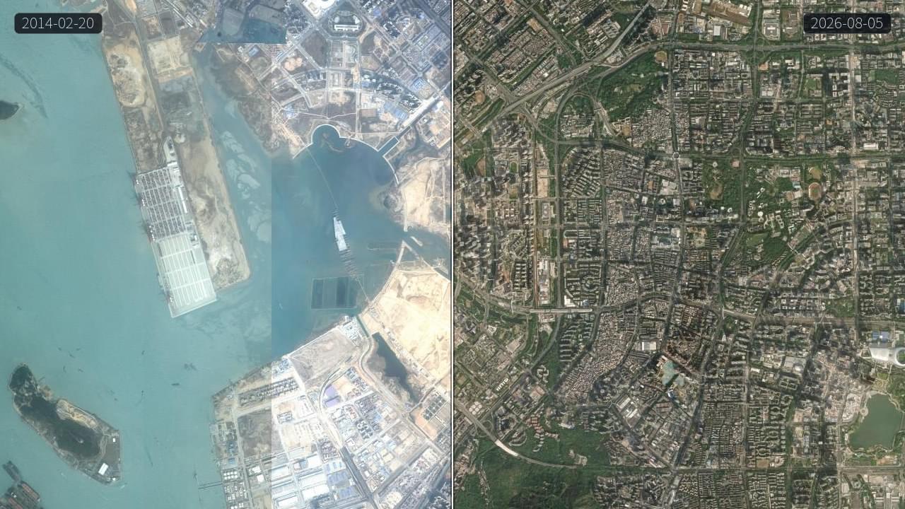
Look at a satellite image. Guess the city.
No sign-up, just open and play — the city you think you know looks different from above.
The equator is about 40,075 km around
At 300 km/h on a high-speed train, one lap would take roughly 5.6 days.
Explore geography by branch
Open the full libraryFrom physical geography to GIS — organized by branch and topic into a searchable, self-guided knowledge base you can dip into any time.


Featured Works
Browse all worksSelected data-visualization projects that show the scale and change of our planet — from sea-level simulation to further interactive experiments.


Interactive Maps
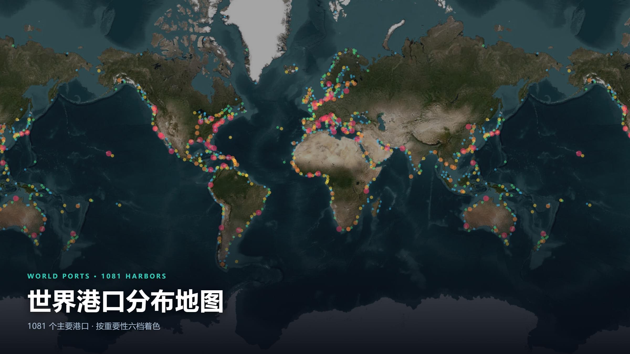
Enter the map seriesReal geographic data turned into maps you can click and query — China’s river networks and provinces, global hydropower and ports; every layer has a story behind it.
Geo Games
All gamesGeography you can actually play — guess the city from a satellite image, guess the country from its outline, find out your geographer personality.


Downloads
Go to downloadsMap assets and datasets curated by the author — wall maps are free to download; PDFs and archives are unlocked with a code after following the WeChat official account.

Geo Tools
View all toolsHome-built online geo tools that take the friction out of coordinate lookup, terrain analysis and format conversion.
GIS工具箱
一站式 GIS 在线工具箱,集成坐标转换、矢量格式转换、空间分析(相交、缓冲区、面积与长度计算)、地图可视化与数据预览等常用功能,无需安装 ArcGIS 或 QGIS,在浏览器里即可完成日常地理数据处理,适合测绘、规划、遥感与地信专业的学生和从业者应急使用。
经纬度查询工具
输入地址或点击地图即可获取精确经纬度坐标,支持全球地址解析(正向地理编码)与经纬度反查地址(逆向地理编码),可在十进制、度分秒、度分、UTM、MGRS 等坐标格式之间自由转换,并支持切换天地图、高德、OSM 等多种底图。适用于地理标注、外业记录、地图制作与坐标系核对。
GeoJson转SHP工具
在浏览器里把 GeoJSON 转换为 Shapefile(含 .shp/.shx/.dbf/.prj 全套文件),也可将 SHP 逆向转回 GeoJSON,转换过程完整保留属性表字段与中文编码,支持自定义坐标系与投影。数据全程在本地内存处理、不上传服务器,适合处理涉密或体积较大的 GIS 数据。
矢量边界下载器
免费在线下载中国省、市、区县三级行政区划与全球 234 个国家及地区的矢量边界,支持 SVG、GeoJSON、TopoJSON、Shapefile、KML、GPX、WKT、PNG 共 8 种格式导出,可自定义投影、配色、简化容差与坐标精度,支持批量打包,无需注册登录。中国国界依据国家标准地图数据处理,含台湾省、香港特别行政区、澳门特别行政区、南海诸岛及九段线。
PDF工具箱
一站式 PDF 在线处理平台,支持 PDF 与 Word、Excel、图片之间互相转换,以及合并、拆分、压缩、加密、加水印、页码与旋转等常用操作。所有任务在浏览器本地完成,文件不上传服务器,兼顾办公效率与文档隐私,适合处理合同、报告与扫描件。
Subdomains
Sister sites under the Planet Catcher umbrella, covering popular science, tools and community entry points.
About Planet Catcher

An independent creator brand focused on earth science. We use data to tell the story of a changing planet and maps to reveal its texture — from melting Antarctic ice to the arteries of city traffic, from the water wisdom of ancient civilizations to simulations of future sea levels — making professional geography intuitive, engaging and within reach.
In-depth explainers
Nearly 200 original articles on the blog, covering physical geography, climate, human geography and GIS — professional phenomena explained in plain language.
Visit the blogInteractive tools
Several home-built online geo tools — coordinate lookup, terrain analysis, GeoJSON conversion — so geo data handling is no longer reserved for specialists.
See the toolsVisualizations
Interactive visualization projects such as the sea-level simulation lab, 3D data dashboards and city road-network drawing, turning complex geo data into something you can feel and interact with.
Browse worksAlso on Bilibili, YouTube, Xiaohongshu, Weibo and the WeChat official account (Planet Catcher)
Changelog & Roadmap
Read the full changelogRecent updates and what comes next — every iteration and every new content direction, logged.
Recent updates
2026-10-23
全站国际化(i18n)第一期上线:界面 + 82 张互动地图 + 3 个小游戏支持英文
2026-10-23
新增「我国主要平原分布图」互动地图(14 个平原盘点,边界由真实高程数据算出)
2026-10-22
新增「我国主要盆地分布图」互动地图(真实沉积盆地边界 + 12 个盆地盘点)
2026-10-22
新增「火星模拟器」3D 互动地图(含季节与昼夜时间模拟)
2026-10-22
新增「全球洋流运动地图」「南极科考站分布地图」互动地图 + 主站百度每日推送自动化
2026-10-21
月球查看器标注方式优化(四类区分 + 探测记录可读性)
Planned
火星模拟器
加载火星真实高程与影像数据,漫游奥林帕斯山、水手谷等地貌,可查任意坐标高程并模拟着陆点的日照与温度。
星空观测指南
整理全年星座与深空天体的最佳观测时间地图。
Follow us
Follow Planet Catcher across platforms to get new geography explainers and visualizations first.